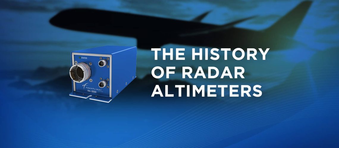
What are Altimeters?
According to Britannica, an altimeter is an instrument that “measures the altitude of the land surface or any object.” Thus, these devices can measure the distance of an aircraft to the ground and have two variations. The first is a pressure altimeter, which determines the approximate altitude above sea level by measuring atmospheric pressure.
The second is a radio altimeter with altitude measurements based on radio wave speed. This radio device determines altitude using the time a radio wave signal travels from an aircraft to the ground and back. This means that a radio altimeter accurately represents the aircraft above the ground rather than at sea level. This key difference creates improved accuracy when flying in low or no visibility conditions or when landing blind.
The History of the Radio Altimeter
In the early 1910s, Bell Labs teams developed the concept of a radar altimeter. Bell Telephone struggled with the reflection of signals caused by the changes in impedance in telephone lines. They noticed they could harness the “humpy” patterned reflections to determine the specific location of devices with echoing issues.
The technician would adjust the frequency by sending a test signal down the line until they saw significant echoes. The location of the echoes would then reveal the approximate distance to the device, allowing technicians to make necessary repairs.
The Concept
An electrical engineer named Llyod Espenschied would soon use this discovery to attempt to measure distances in a wire. Espenschied believed he could harness the frequency test signal for other uses. Eventually, this led him to a new way to measure the distance and speeds of trains on railway tracks. In 1926, he began to consider the possibility of this discovery in relation to altitude, terrain avoidance, and collision detection.
The Development
Espenschied would eventually patent the first concept of a radio altimeter. His radio altimeter would measure altitude, inform terrain avoidance, and provide collision detection. Ultimately, this patent would forge a partnership between Bell Labs and United Air Lines (UAL) to create a working prototype.
Led by Russell Newhouse, this blended team would build a working model by 1938. That same year, the radar altimeter prototype would go public in the commercial market. Hosted in October, a public demonstration and announcement would occur in New York, generating much interest.
The Radar Altimeter Today
We are far from 1938, and radio altimeters have advanced greatly. The radar altimeter has gone through various developments that have brought it to where it is now. They have seen adoption in commercial spaces to the transition from analog to digital information and the development of Terrain Awareness and Warning Systems (TAWS).
Today, the radar altimeter is an important part of many aircraft. Operators and ground personnel rely on it to provide accurate and safe aircraft altitude, terrain, and collision information.
The Current Issues Facing Radar Altimeters
5G Tolerance
While radar altimeters are staples of aviation safety and standard avionics on an aircraft, they are not without their own challenges. As technology grows, innovations in other technology spheres can impact avionics, and radar altimeters are no exception. Recently, cellular networks began encroaching on parts of the C-band network with the inception of the 5G network.
This change ended up impacting radar altimeters and their operation. In response, the Federal Aviation Association (FAA) announced requirements to ensure that operator’s radar altimeters were 5G tolerant to avoid interference. With the 5G wireless network operating on the C-band, there are risks of interference, compromising the safety of aircraft operators.
The industry has discussed solutions, but limited options to mitigate 5G interference exist, and some operators need solutions now. While 5G operators have made concessions around airstrips, some operate in areas where this interference is present. While the deadline set by the FAA remains a moving target, some operators still seek to implement 5G mitigation strategies in advance.
The Growth of Urban Air Mobility and Uncrewed Aerial Vehicles
Just as technology in the world grows and changes, so does the aerospace landscape as innovations enter the market. Key innovations are the development of Urban Air Mobility (UAM) airframes and Uncrewed Aerial Vehicles (UAVs). Both aircraft are considerably smaller than the standard helicopter or business jet, especially in the case of UAVs. Therefore, they require small avionics to comply with weight restrictions and power efficiencies.
Radar altimeters have improved in size, weight, and power but still lack an ideal form factor. Ultimately, they still build them to accommodate larger airframes. Therefore, size, weight, and power are crucial to UAV and UAM operators to ensure they can operate efficiently.
Seeing this issue, FreeFlight developed the TERRAIN series radar altimeter. The TERRAIN series radar altimeters are more than 60% smaller than legacy models and have 5G tolerant capabilities. Please visit our avionics hub to learn more about FreeFlight Systems’ solutions.
About FreeFlight
As a NextGen Aviation leader, FreeFlight Systems designs and manufactures high-performance avionics for flight safety. These solutions deliver substantial safety and unmatched reliability, which is critical for modern flight operations. Founded in 2001 and based in Texas, the company pioneered the first certified aviation WAAS/GPS receiver and its first rule-compliant UAT ADS-B system. FreeFlight Systems is now a global aerospace leader, specializing in SBAS/GNSS sensors, radar altimeters, flight management systems, and other NextGen aerospace avionics.


